Past, Present and Future: A Look at Transportation Data
Posted on Monday, March 14th, 2022 by Affinis CorpIn Roadway, Traffic, tagged in
Transportation data plays an important role in creating high-performing roadways and planning for maintenance. Over the years, we’ve seen an increase in technology used. These emerging technologies along with autonomous cars could transform the kind of information we examine throughout engineering projects.
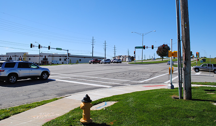
When it comes to collecting transportation data, there are many options. Older methods like loop wires, tube counters, and manual counts are still prevalent and work for many situations. However, in the last decade, other technologies, like cameras, have become more prevalent. In fact, cameras are used in many intersections in Johnson County, Kansas. Typically, there is at least one installed at each intersection on all signalized intersection projects.
The methods of using tube counters and manual counts are only used for short-term counts as they either must be installed before the count period and then picked up at the end of the count period or have an observer present for the entire length of the count. Tube counters can provide information on volumes, direction of travel, speed, and vehicle classification, but can not determine turning movements. Manual counts can provide volumes, direction of travel, vehicle classification, and turning movements, but can not determine speed. While these data collection methods can provide several kinds of data, they are only realistic to use for shorter counts, such as peak-hour and 24-hour counts.
For long-term or persistent counts, permanent installations are needed. One permanent installation type is loop wires. Loop wires have been around longer and are typically cheaper to install than other vehicle detection and data collection devices, but they can’t collect as much data as other methods. When a car or truck drives over one, it creates a magnetic field, and the wire, essentially, “counts it.” This method only provides information on traffic volumes and direction of travel. These loop wires are typically used at intersections to indicate to the signal that a vehicle is present, whether that is to indicate a turning or through movement.
As mentioned above, cameras have become a prevalent data collection tool in the recent years. With additional software, video technology can not only determine turning movements and volumes, but it can also pull classification data on vehicles and speeds traveled.
There have also been recent emerging technologies that can collect traffic data based on detecting road users’ smartphones and/or Bluetooth devices. These methods offer the opportunity for collecting data over a larger area or through multiple intersections, which opens additional data categories, like origin-destination and travel times. These methods typically rely on third-party software rather than a physical installation.
Hourly, daily, and yearly traffic volumes are used continuously to help determine capacity needs for roadways and intersections. Transportation data provides several metrics which can assist a traffic study. Collection of vehicle classification can even help determine the appropriate pavement design is used.
While we have seen many changes in how data is collected, most of the older methods still work for many situations. As we continue to see advancements in technology, the kind of information gathered will continue to evolve. This transportation data is essential in designing new roadways and for improving existing ones. The amount of data that could be obtained is endless and will likely lead to innovations in smarter roadway design.