Posts Tagged ‘gis water modeling’
Water Modeling Gets Interactive with GIS
Posted on Wednesday, June 5th, 2019 by Affinis CorpIn Stormwater, tagged in Tags: gis water modeling, stormwater management
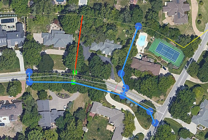
At Affinis, we’ve been delivering stormwater models in a new way. Using GIS, our team is mapping locations of inlets and connecting pipes to see how they work together. The Environmental Protection Agency (EPA) developed and supports the stormwater management model EPA SWMM. This software is the powerhouse engine behind our GIS integrated models. The […]