Intersection Study Establishes Design for 159th St. Improvements from Metcalf to Nall
Posted on Wednesday, February 15th, 2017 by Kristen Leathers-GrattonIn Roadway, Traffic, tagged in

There were a number of key questions surrounding the improvements to 159th Street between Metcalf and Nall Ave. We worked with the City of Overland Park to determine the thoroughfare size and the best way to manage school traffic around Blue Valley High School (BVHS). To learn more about why the study was conducted and what was discovered, we sat down with the project manager, Ryan Fleming and the project’s traffic engineer, Mike McKenna.
Why was a corridor study conducted on this particular project?
Ryan: The City of Overland Park wanted to move away from designing thoroughfares the way they had done them in the past. For this particular corridor, they wanted to perform a study to determine if the four-lane divided section was necessary or if a three-lane section would suffice in the future.
Mike: Additionally, the city does not like to signalize the entrance to a school, because of the permanent delay it would cause. Traffic would be slowed throughout the day to address just 15 minutes, twice a day for nine months of the year. A part of the study was used to consider alternative intersection improvements and how they would affect the corridor. Essentially, they wanted to evaluate how to best move traffic through 159th St, while also improving the backups that were being experienced in the BVHS parking lot.
What aspects were challenging or unusual about the area?
Ryan: There was limited space to fit the improvements. Ponds on the north side of the road and private property on each side of BVHS meant the changes had to improve traffic flow, while also limiting impacts to the neighboring properties.
Mike: As the oldest high school in the district, BVHS is located close to the roadway with limited queuing for carline or on-site parking. Additionally, all four of the entrances are located along 159th Street, none of which could be eliminated without adding to the existing stress of getting traffic in and out of the school’s parking lot.

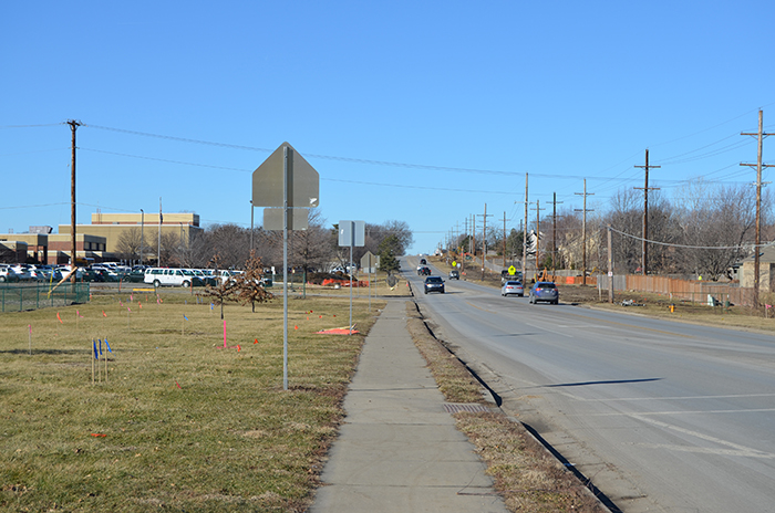
This was how the area looked before the traffic circles were added.
What are the steps that go into a conducting corridor study?
Ryan: We started by evaluating the existing traffic volumes, then modeled the existing traffic conditions, and finally, determined the immediate improvement needs. We also simultaneously met with key stakeholders, like BVHS to gather input on how their traffic functions, as well as problems they were currently having. We consulted with Johnson County, as well, to get a pulse of what they were hearing from their residents as part of the project lies in Johnson County, outside of the Overland Park city limits.
Mike: We used the City’s Travel Demand Model to produce future traffic volumes. This allowed our team to analyze and evaluate the future needs for improvement. Using these figures, we looked at a number of intersection configurations, including the three and four-lane divided roadway sections. The results of the analysis were used in discussions between the City of Overland Park, BVHS, Johnson County, and our co-workers to discuss pluses and minuses of all the options.

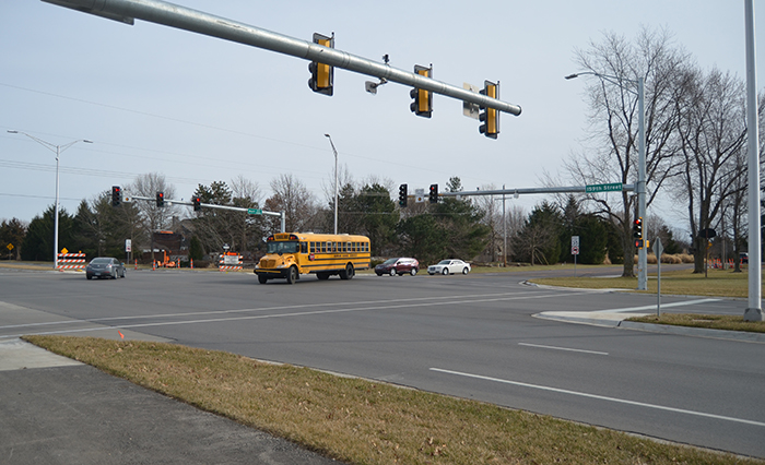
This the new, signalized intersection.
What were some of the key findings?
Ryan: Ultimately, the three-lane section could not handle the future traffic, and it was determined to design and construct a 4-lane divided section.
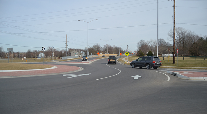
Mike: Another result was that adding two roundabouts at each end of BVHS would help traffic in and out of the school area, as well as assist drivers in making U-turns where access management was applied. This made it easier to make some of the “T” intersection roadways right in, right out.
How did the study influence the design process?
Ryan: The study’s conclusions set the course for design. Once it was completed, the Affinis team went to work on designing the study’s recommended corridor.
Mike: During the public meetings, it was great to share the study results with residents. With those in hand, we all felt confident we were designing the right size corridor.