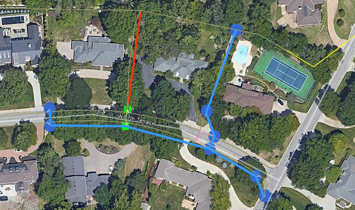
Everything you need, and nothing you don’t. A GIS database provides a complete picture of your project site. You select the range of datapoints that should be incorporated. For some, that might mean identifying every manhole, inlet, and pipe and then, cataloguing the sizes, materials, and the conditions of each. No matter what is included, all our databases can feature links to photos of every structure.
Affinis brings an experienced lens to each GIS database. Our licensed surveyors use their 30 years of experience to gather data in the field. Their insight and state-of-the-art equipment allow them to capture the information needed. Then, they collaborate directly with our GIS team to generate a database that meets our clients’ goals. Having both teams in house means that nothing is lost in translation.
John Spell, PE, Project Engineer
Working with GIS allows our design team to work through alternatives quickly at a concept level.
Affinis Corp


