Bathymetric Surveys
For years, our survey group has been conducting bathymetric surveys to assist clients in determining the depth of bodies of water and calculating the volume of silt or dirt that has accumulated over time. When working in water depths greater than 4 feet, we employ either of our two vessels, which are equipped with a single beam sonar that collects the depths in real time.
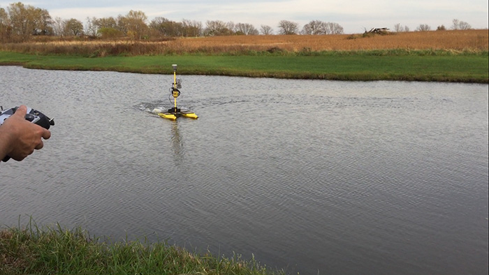
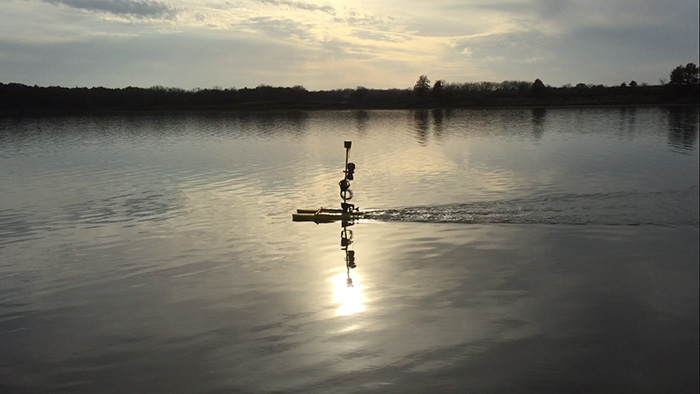
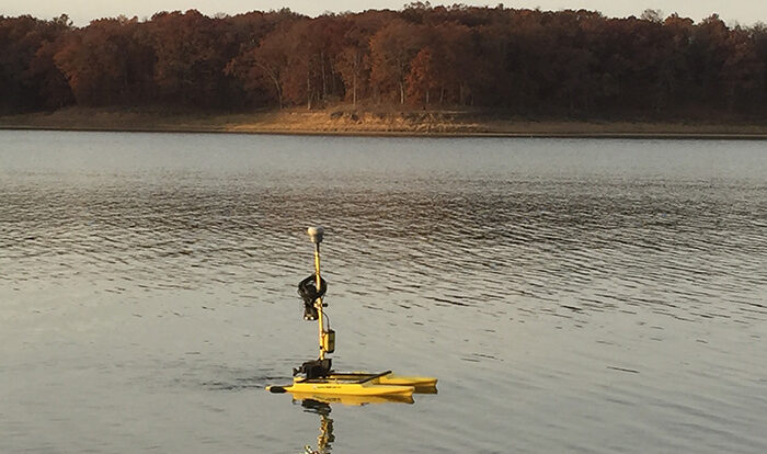
The first is a 10-foot Pelican Boat, which is driven by our surveyors. The second option is a 5-foot Remote-Controlled Catamaran. Both boats are compatible with our GPS receivers and record the data on our field data collectors. This integration ensures the collected data can be seamlessly imported into AutoCAD for further analysis. Additionally, the data is accessible via the Cloud, facilitating easy collaboration with our in-house design team and keeping project schedules on track.
By leveraging this technology and ensuring data integration with our design tools, we continue to provide precise and reliable bathymetric surveys for our clients.
Recent Projects
Here’s a sample list of a few recent projects:
- Sherwood Lake: Marthasville, MO
- Verdigris River: Independence, KS


