Jun 20 19
Water Modeling Gets Interactive with GIS
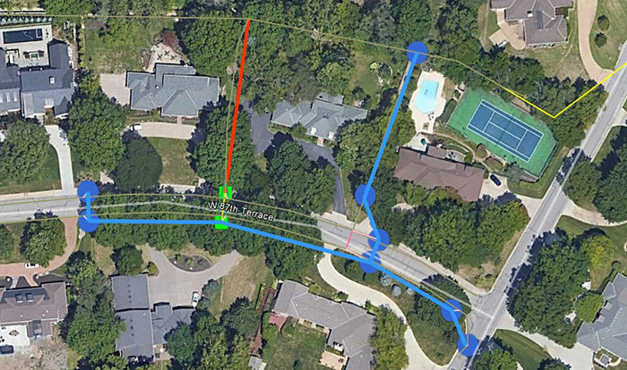
At Affinis, we’ve been delivering stormwater models in a new way. Using GIS, our team is mapping locations of inlets and connecting pipes to see how they work together. To learn more about how it works, we interviewed John Spell, a project engineer and Brandon Gann, a GIS specialist, on the topic.