KDOT Leverages Mobile LiDAR and Traditional Techniques for US-83 Survey
Posted on Tuesday, April 16th, 2024 by Affinis CorpIn Survey, tagged in
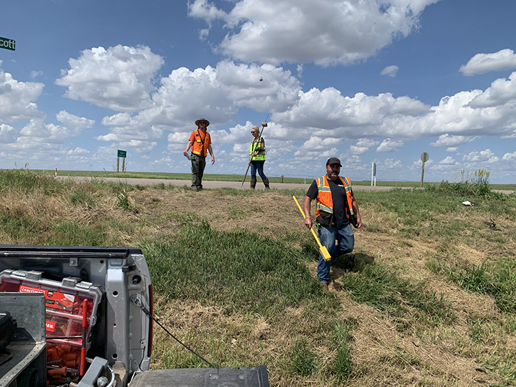
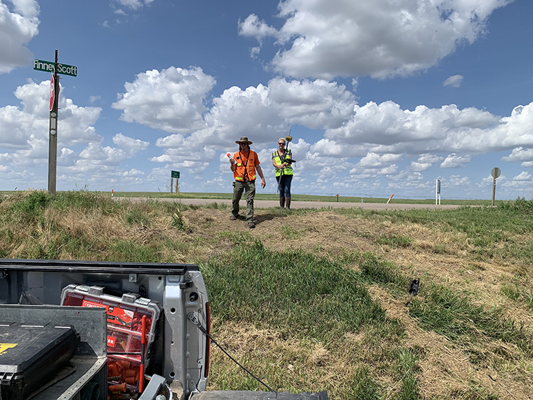
The Kansas Department of Transportation (KDOT) wanted to improve traffic flow on US-83 from the Scott-Finney County line north towards Scott City. To efficiently survey the 8.5-mile stretch, they needed to use a combination of old and new technology.
Affinis’s survey group was selected for the project. Our team was asked to perform a full design survey and right-of-way development to support the design of passing lanes and intersection improvements. Instead of capturing topographic features and roadway surfaces by foot along the corridor, we collaborated with a consultant to provide aerial and mobile LiDAR services. Using this method allowed our crews to focus on other items needed for the survey, such as establishing section lines, right-of-way lines, and locating utilities.
With so much ground to cover, this project used everything from a hand shovel to an aircraft with sophisticated imagery equipment. As a result, we needed the unique skillsets of a variety of professionals on our team. Merging old and new helped us provide thorough, tested results.
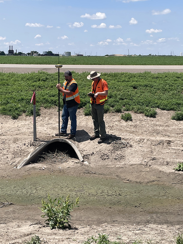
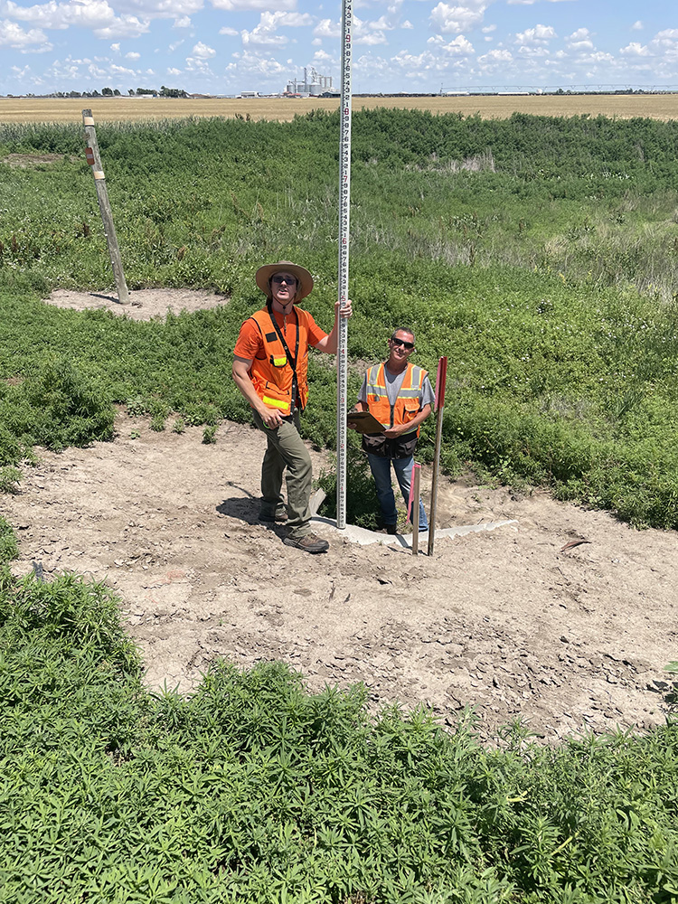
While on-site, our team recovered several brick and stone material section corners. These had been set by the Scott County Surveyor in 1909. We filed current section corner reports on these historical corners with the County and State to make them easier to find by other surveyors who needed to locate them in the future.
Blending traditional methods with new tools helped us meet KDOT’s goals. Our approach allowed for the collection of more survey data in less time, had minimal impact on traffic, and increased safety for our team. With the survey complete, KDOT has the data needed to further develop their plans for expansion.