New Photogrammetry Software Takes Surveys to New Heights
Posted on Wednesday, August 28th, 2019 by Affinis CorpIn Survey, tagged in Tags: orthomosaic, photogrammetry, pix4d, survey technology
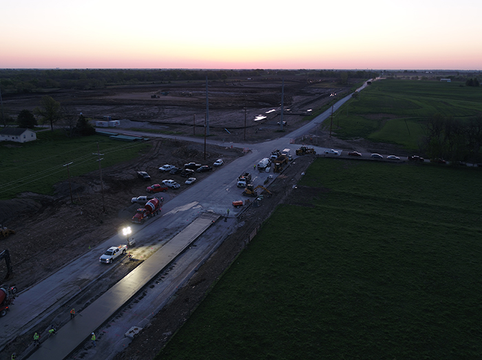
In recent years, there has been a push for communities to maintain their existing infrastructure. But, assessing conditions across a city can take time. With drones and new photogrammetry software, Pix4D, our team can cover a lot of ground more quickly. The results of those efforts are multi-functional, offering valuable data long after a project is complete.
While the software we’ve added is new, photogrammetry has been around since World War II. During that time, pilots would capture images from their planes and then, piece them together to create large maps. What we’re using is a sped up version of that. Instead of airplanes, we use drones to take the pictures. They can get aerial photos from above or even, fly low enough to catch cracks in the sidewalks or survey markers. Those photos are loaded into Pix4D, our photogrammetry software. It then takes multiple photos and stitches them together to make one large image called an orthomosaic. That same information can also be used to generate a point cloud, or 3D model.
When using Pix4D, the survey team starts by flying a corridor to gather data. Here, they take a large number of photos with a drone to increase the quality and accuracy of the composite photo. Prior to using the drone, this could take several days, but now, only an hour or so is spent. Then, our design team uses the collected photos and Pix4D to create an orthomosaic.
The program works by taking all the photos and comparing the pixels in each one. Then, it matches the colors together like a giant puzzle. With it, users can narrow the images down to see specific elements, like pavement, buildings, etc.
The drone’s GPS data is also included in the digital images. That information is then built into the files, helping to identify locations. However, our survey team also tracks location information using survey GPS, because it can pinpoint items much more specifically – within a centimeter or two. They focus on surveying control points or other distinctive features. Then, they can lock in the position much more accurately.
It’s important to note the drone comes with a few limitations. For example, it is difficult to get photos in areas with tree cover. The software can’t see through the trees and distinguish the pixels below. Also, the presence of shadows and sunlight factor into how well the software can match colors between photos. Surveys should be performed around the same time of day to ensure accurate pixel matching.
Despite these challenges, Pix4D offers a number of benefits. To begin, it provides a better product and a safer method for surveying busy roadways. Aside from being aesthetically pleasing, the data can be used to augment AIMS and Google Maps imagery. This is particularly relevant to rural areas where surveys may be conducted less frequently, and real-world conditions aren’t always accurately displayed. They also provide so much data that designs can be created with tighter tolerances.
The largest asset to clients is they can be used for multiple purposes. Orthomosaics provide more versatile data than would typically be collected for a single project. These valuable maps can be used for a variety of project types and to anticipate new maintenance needs, ultimately moving communities forward.