Posts Tagged ‘photogrammetry’
8 Items to Consider Before Deploying a Drone
Posted on Wednesday, February 12th, 2020 by Affinis CorpIn Survey, tagged in Tags: drone, photogrammetry, survey

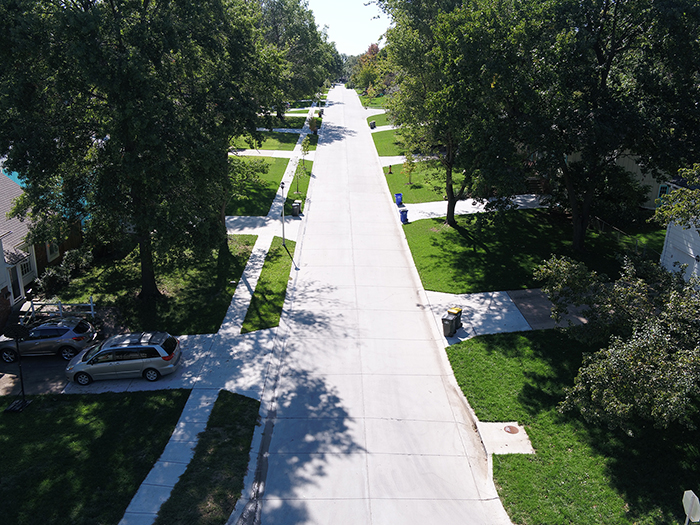
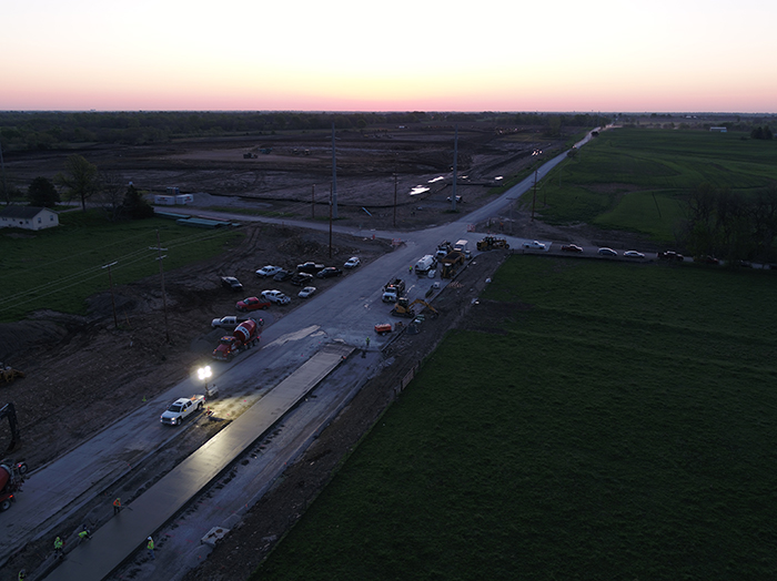
The Affinis team uses drones to survey clients’ sites and capture invaluable information. They take aerial surface images and then transform them into models with photogrammetry software. While drones are important assets to our firm, their usage is controlled by a series of requirements issued by the Federal Aviation Administration (FAA) to increase public safety. […]
New Photogrammetry Software Takes Surveys to New Heights
Posted on Wednesday, August 28th, 2019 by Affinis CorpIn Survey, tagged in Tags: orthomosaic, photogrammetry, pix4d, survey technology

In recent years, there has been a push for communities to maintain their existing infrastructure. But, assessing conditions across a city can take time. With drones and new photogrammetry software, Pix4D, our team can cover a lot of ground more quickly. The results of those efforts are multi-functional, offering valuable data long after a project […]