Silt Buildup Surveys at Weatherby Lake
Posted on Wednesday, August 24th, 2016 by Robert UbbenIn Survey, tagged in Tags: silt build-up, survey, weatherby lake
A lake may seem resistant to change, but hard rain events and construction activities taking place upstream can adversely affect its shorelines, capacity, and eco-system more than you may expect. Silt and mud will always accumulate at the points where tributaries feed water into the lake. However, seasons with extreme amounts of rain or construction performed upstream without proper erosion control can cause sediments to wash into the lake at alarmingly fast rates.
As silt begins to fill the lake, pockets of water can form that trap fish and keep them from the main body of the lake. The accumulating silt and mud can effectively reduce the size of the lake by slowly filling up the coves. Left untreated, increased silt degrades the fishing habitat and boating function of the lake due to the loss of water depth. One tangible example of how this impacts lake goers is docks once floating over water would now sit in mud. To combat this, lake owners hire contractors to remove silt build-up and surveyors to monitor the fluctuating depth of the lake.
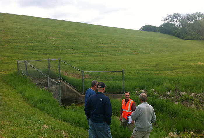
Since the mid-1980’s, we have been conducting lake bottom surveys in Weatherby Lake, Missouri. We monitor silt buildup in four of the lake’s coves and run cross sections on the lake bottom. By working at the same locations every time, we can compare new measurements to prior data.
The purpose of the surveys is to calculate the volume of silt buildup, as well as the volume that has been removed by dredging the lake. These surveys are performed before and after dredging and are typically completed every 3 to 4 years until dredging is required again. Because contractors charge for the volume of silt removed, these surveys offer an independent review for the Weatherby Lake Improvement Company (WLIC). The lake bottom surveys provide information to the WLIC on the condition of their lake and the need for dredging to restore lake depth.
In the earlier surveys, we calculated lake-bottom elevation by using a weighted flat disk that was lowered to the bottom of the lake. We recorded the depth to the top of the silt and manually calculated a lake bottom elevation by subtracting the depth from the top of water elevation. While somewhat primitive, it served its purpose and provided the information we needed.
Currently, we use a sensitive, single beam echo-sounder with GPS equipment to collect the lake bottom elevations. The echo-sounder continually pings the lake bottom to measure its depth. Using the echo-sounder and GPS method has greatly reduced the number of people and time needed to collect and calculate data. The depths collected by the echo-sounder are spot checked in several locations to assure we collect the correct data and capture the top of the silt and not the harder underlying surface of the lake bottom. This method is more accurate and cost effective, a clear improvement over the methods we used previously.
After the survey is complete, we provide a report of the survey, cross sections, and volume calculations. WLIC uses this data to see how fast the coves are filling up with silt and how much is removed after dredging.
For nearly 30 years, we have provided professional engineering services to the WLIC. You can find more details on the improvements we’ve made here.